Geocaching
Event and Activity Release of Liabiltiy Waiver
Please click below to read our Event and Activity Release of Liability Waiver.
By attending and participating in this event, you agree to the terms of this document.
Recording Geocaches
What to Include?
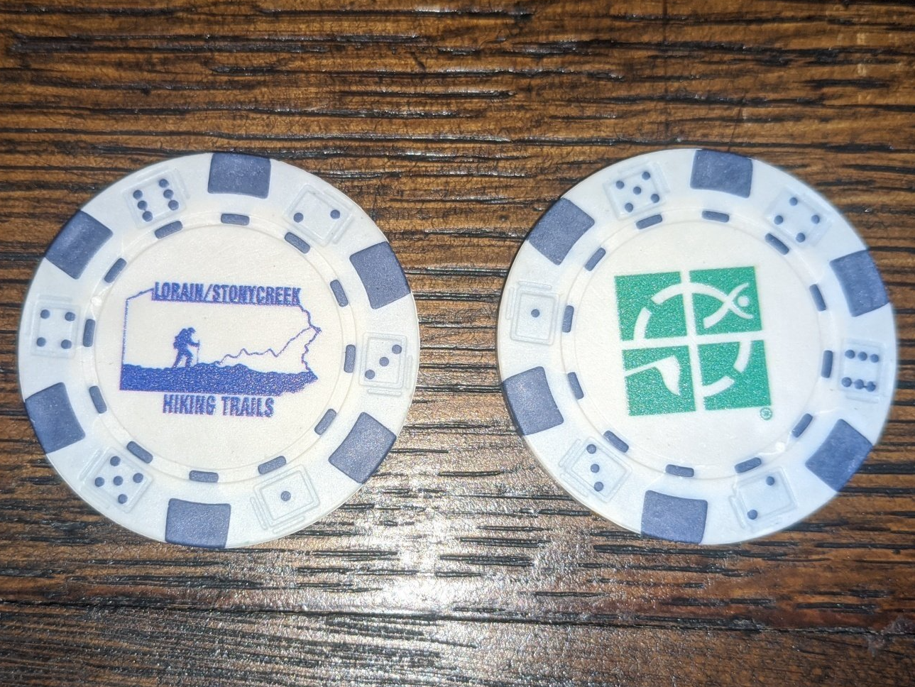
Each Geocache has a code inside. Please mark the code and the date you found the geocache in the line beside each geocache. When you find all 17 and record the code words, you will get a Lorain/Stonycreek Hiking Trails GeoCoin.
List of Geocaches
- HIKE 4 IT (GC8NXEY)
- BLAZE YOUR OWN TRAIL (GC8JCZ0)
- TOP OF THE BOROUGH (GC8HTCY)
- SWEET LORAIN (GC3577W)
- GRANDPAP JOE (GC5GEM7)
- LORAIN STONYCREEK HIKING TRAILS CACHE (GC8N42Q)
- PATHWAY TO THE FALLS (GC8RZ74)
- DESTINATION WATERFALL (GC8X4RT)
- LSHT1 (GC8XZ2W)
- LSHT2 (GC8XZ36)
- LSHT3 (GC8Y41H)
- LSHT4 (GC8Y5AY)
- LSHT5 (GC8Y5B6)
- LSHT6 (GC8Y75X)
- LSHT7 (GC8Y76F)
- LSHT8 (GC8YHRD)
- LSHT9 (GC8YNKT)
18. WHAT A VIEW! (GC97YF9)
19. KEEP HIKING (GC99Q01)
Points of Interest
- Parking Area Lorain Borough Hiking Trails Parking N 40° 17.597 W 078° 53.787
- Trailhead Lorain Borough Hiking Trails N 40° 17.575 W 078° 53.791
- Trailhead Lorain Borough Hiking Trails - Coldren St. Playground N 40° 17.394 W 078° 53.430
- Lorain Hiking Trails Alternate Entrance N 40° 17.584 W 078° 53.083

The Lorain/Stonycreek Hiking Trails feature over ten miles of total trails that are blazed in multiple colors. Our longest trails are detailed below.
Pathway to the Falls
Pathway to the Falls is blazed in blue. This trail is 2.2 miles round trip and takes you from the mail trailhead to Turtle Falls. Turtle Falls is a fifteen foot waterfall that is nestled in the back of our trail system.
Map of the Earth
Map of the Earth is our most advanced trail and it is blazed in yellow. Hiking boots and pole are recommended. The trail is 4.8 miles and creates a loop which splits about .25 miles into the trail. Either direction will bring you back to where you started so feel free to explore.
Whitetail Trail
Whitetail trail is a 1.7 mile loop that is blazed in white. The trail goes around the 88 acres of park property. On this trial you can get to the bridge and the Coldren St. playground. It also leads to the water trails.
*** The Red, Lime and Hunter trails are all small loops off of the Whitetail Trail.
Histroic Trail
The Historic Trail, was originally built in 1982. This trail had been left unmaintained for many years and we decided to recreate the trail and blazed it with orange circles with a historic name plate nailed into the trees.
BLAZE ON VENTURES DBA/ LORAIN/STONYCREEK HIKING TRAILS IS A VETERAN RUN NON-PROFIT ORGANIZATION